Mountain Lakes Park, Westchester County, New York
Mountain Lakes Park, with 1,082 acres, is the northernmost county park in Westchester County, located primarily within the Town of North Salem. There is a summer camp there for disadvantaged children, and other cottages and campsites are available year-round for the general public. The park is described as having a rugged landscape, native hardwood forests, rock outcroppings, meandering streams, beautiful views and the highest mountain in Westchester County. There are also five lakes in the park. It sounds great, but I was not especially impressed. I enjoy overlooks, but there was really only one significant overlook in the park.
I parked beside the Park Office, just inside the entrance to the park. A paved road leads inside the park, forming most of a 3.4-mile orange loop. About 0.2 miles on the road I encountered a dirt road leading to the south. I followed this road:
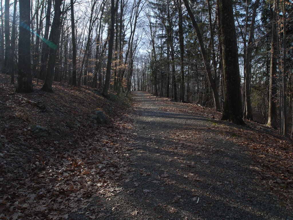
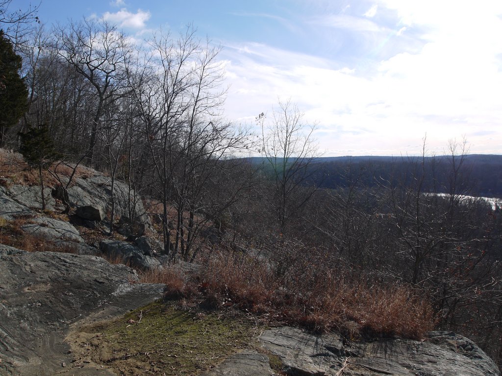
After 0.4 miles, the road ended at Look Out Point, just across the border into the Town of Lewisboro. This featured the aforementioned overlook:
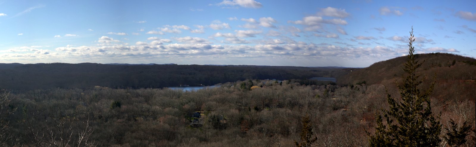
Here’s a stitched panorama of the view from Look Out Point:
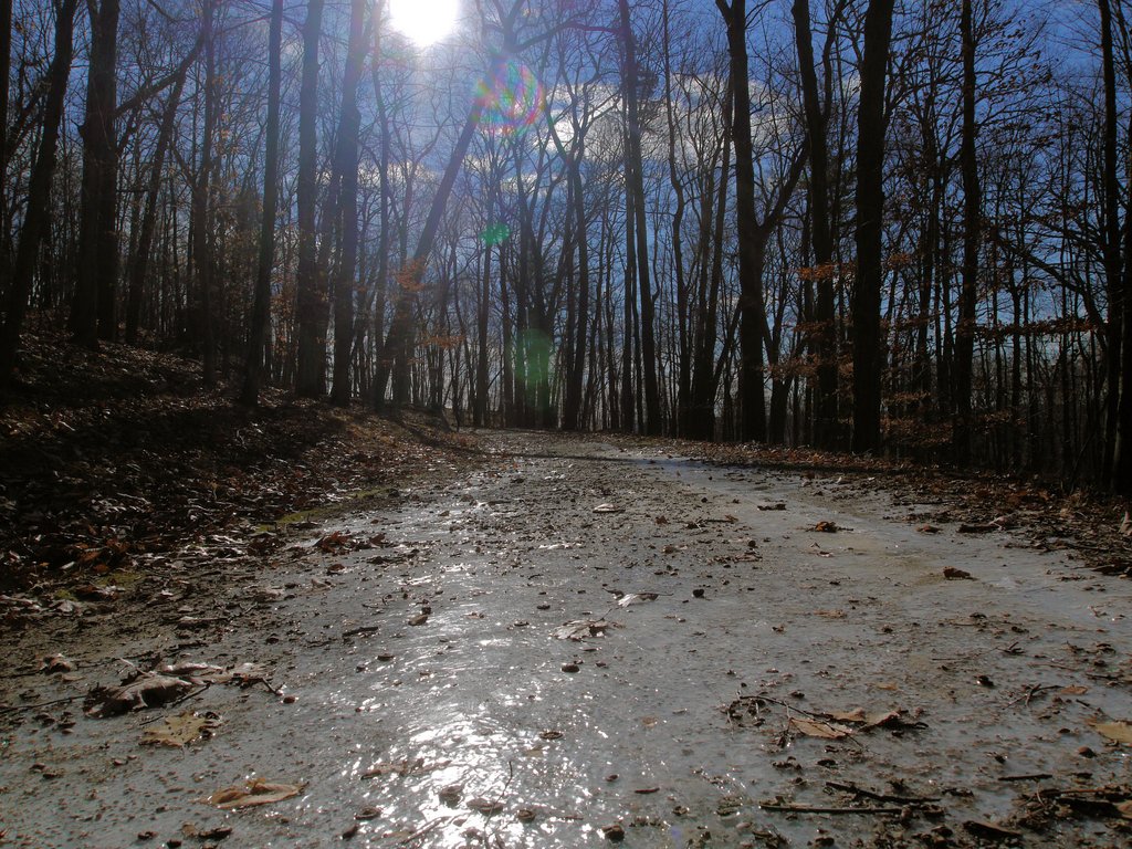
I returned the way I had come. It had been below freezing overnight, and was either still below freezing or not much above it. This patch of ice covered on spot of the road:
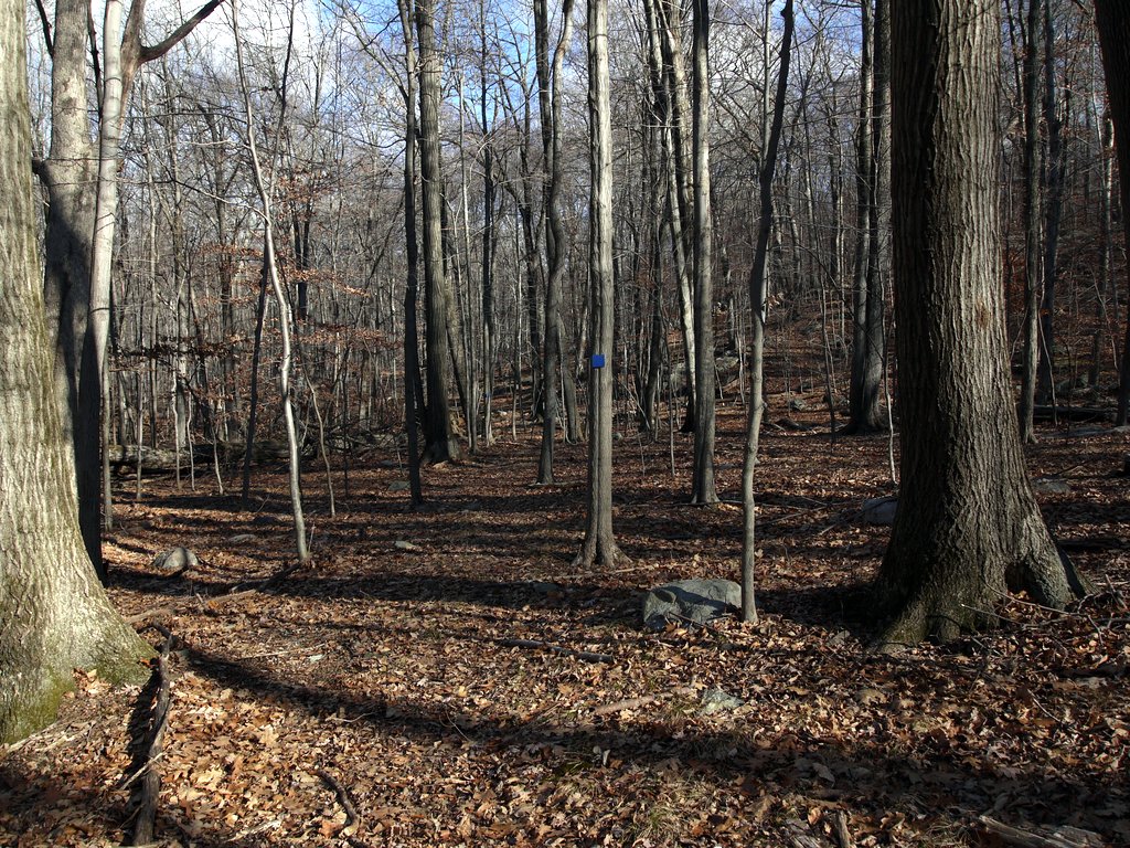
I returned to the paved road and continued to the east another 0.4 miles, then struck out “cross country” toward the northeast on a blue-blazed trail. With so many fallen leaves, I could not tell where the trail was and had to rely entirely on blazes. In places, a blaze was missing or was spaced too far apart, and I had to continue on in the direction I had been moving and search diligently for the next blaze.
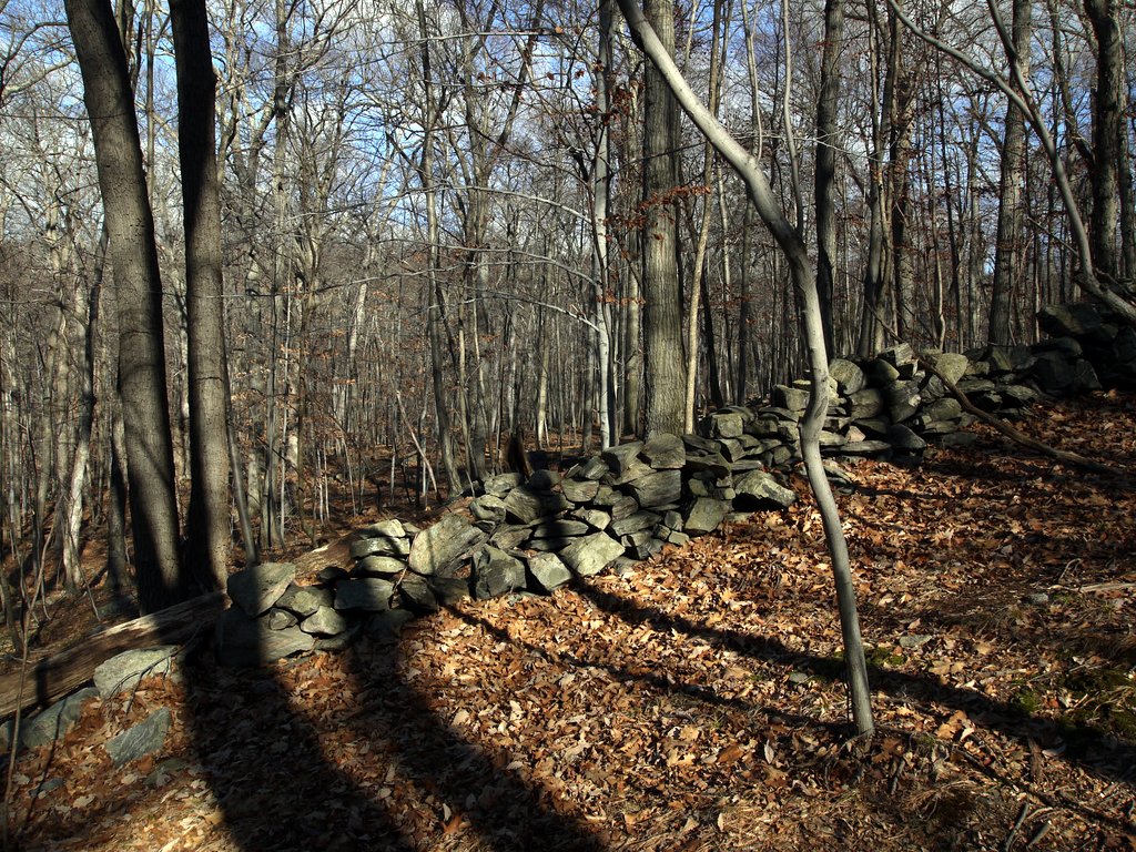
I found a rock wall:
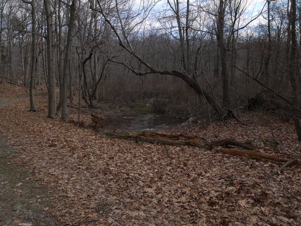
A small pond was at least partly frozen:
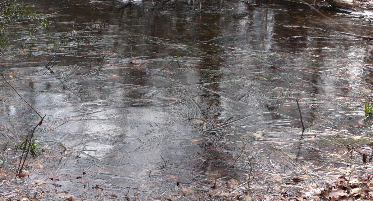
A close-up of the frozen surface:
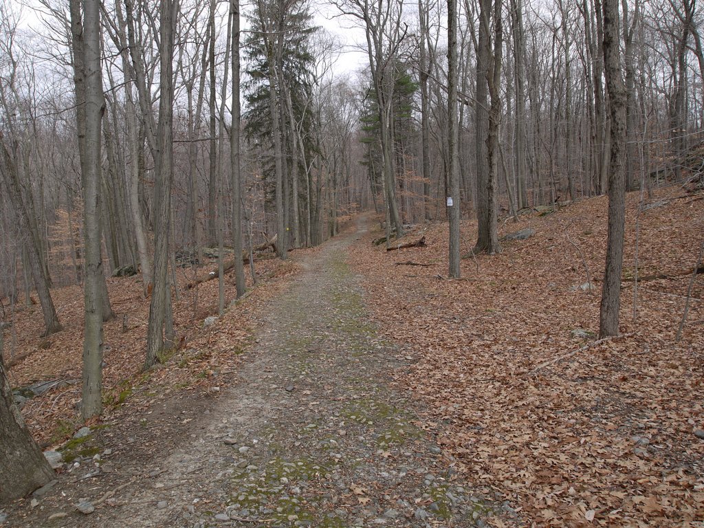
The blue trail left the woods at the intersection with the orange-blazed road and a dirt road. I walked along the road for a while, then had a choice of continuing on the blue trail across country or continuing on the dirt road and following a yellow-blazed loop trail. I switched to the yellow-blazed trail, which soon left the road to move north and then northwest through the woods.
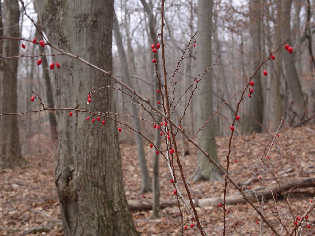
Pretty red berries; without leaves, it’s difficult to know what they are, though the oblong shape could be a clue to identity.
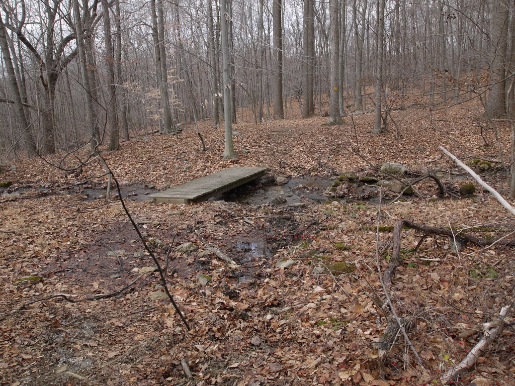
In one place, a bridge crossed a narrow stream, though the stream was so narrow that the bridge seemed unnecessary.
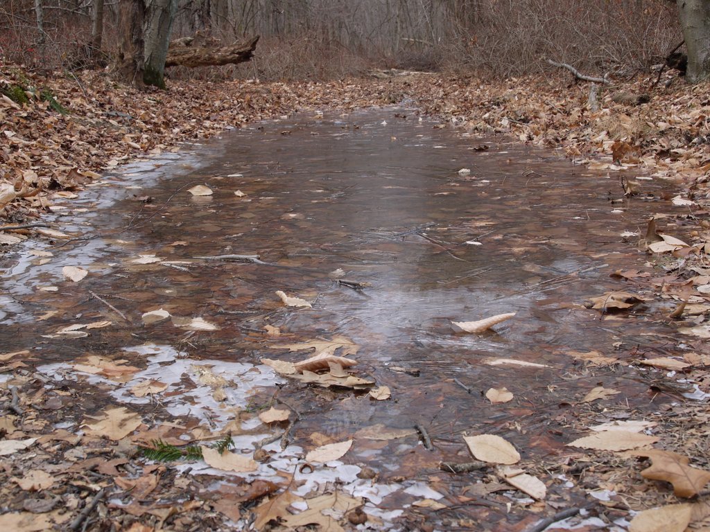
Another frozen puddle filled the trail:
The yellow trail left the park for about 0.1 mile, running along Hunt Lane, then reentered the park running south. Here’s a nice outcrop visible through the trees:
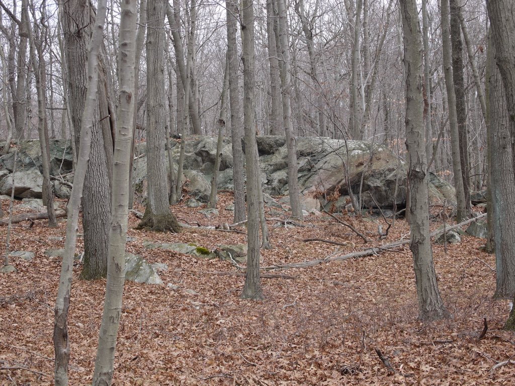
The next three photos show that a large tree has fallen and blocked the path. I imagine that eventually the county will perform some maintenance and clear the trail.
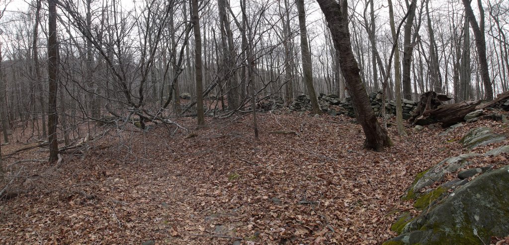
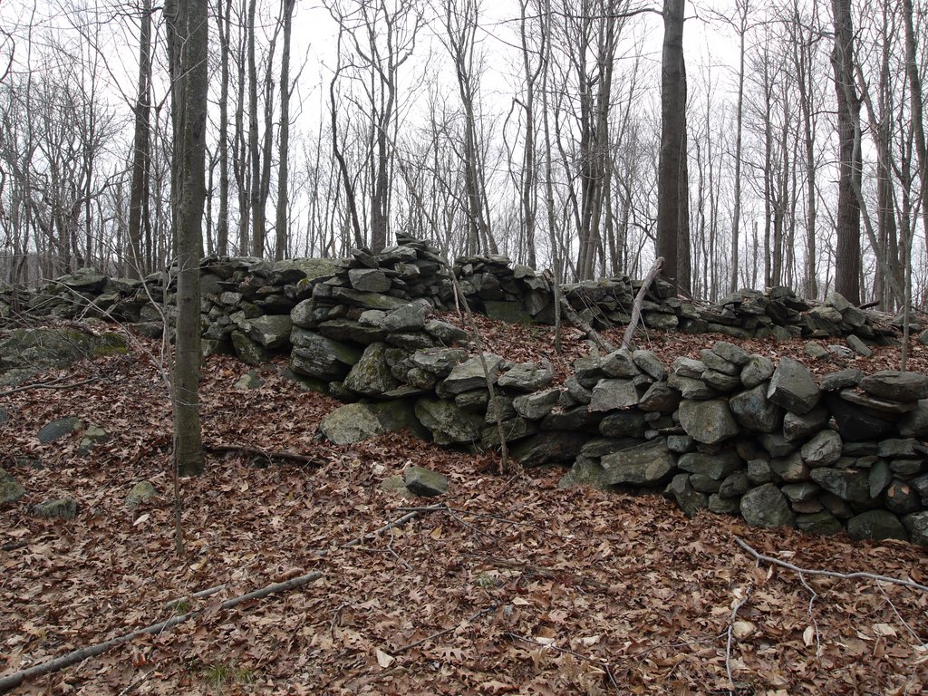
Here’s another nice rock wall. I had to walk along side it to clear the tree that was blocking the path.
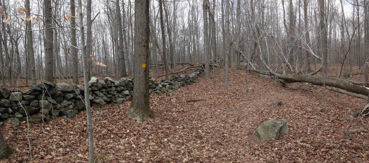
Looking back, you can see the tree blocking the trail:
Soon afterward, the trail came to a stream. This stream could have used a bridge. There were no stepping stones, so I diverted from the path about 50 feet until I found a narrow spot where I could simply step over the stream.
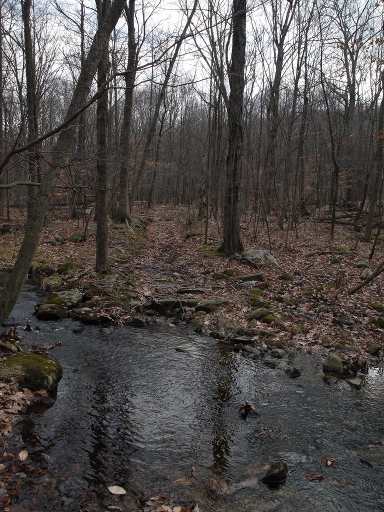
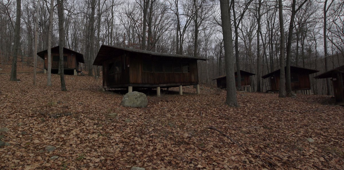
The yellow loop intersected the blue loop, so I crossed back to the blue loop, now moving west. The blue loop crossed the orange road and continued southwest. I followed it, and it led to cabins near the north end of Hemlock Lake.
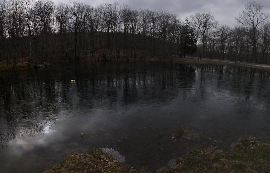
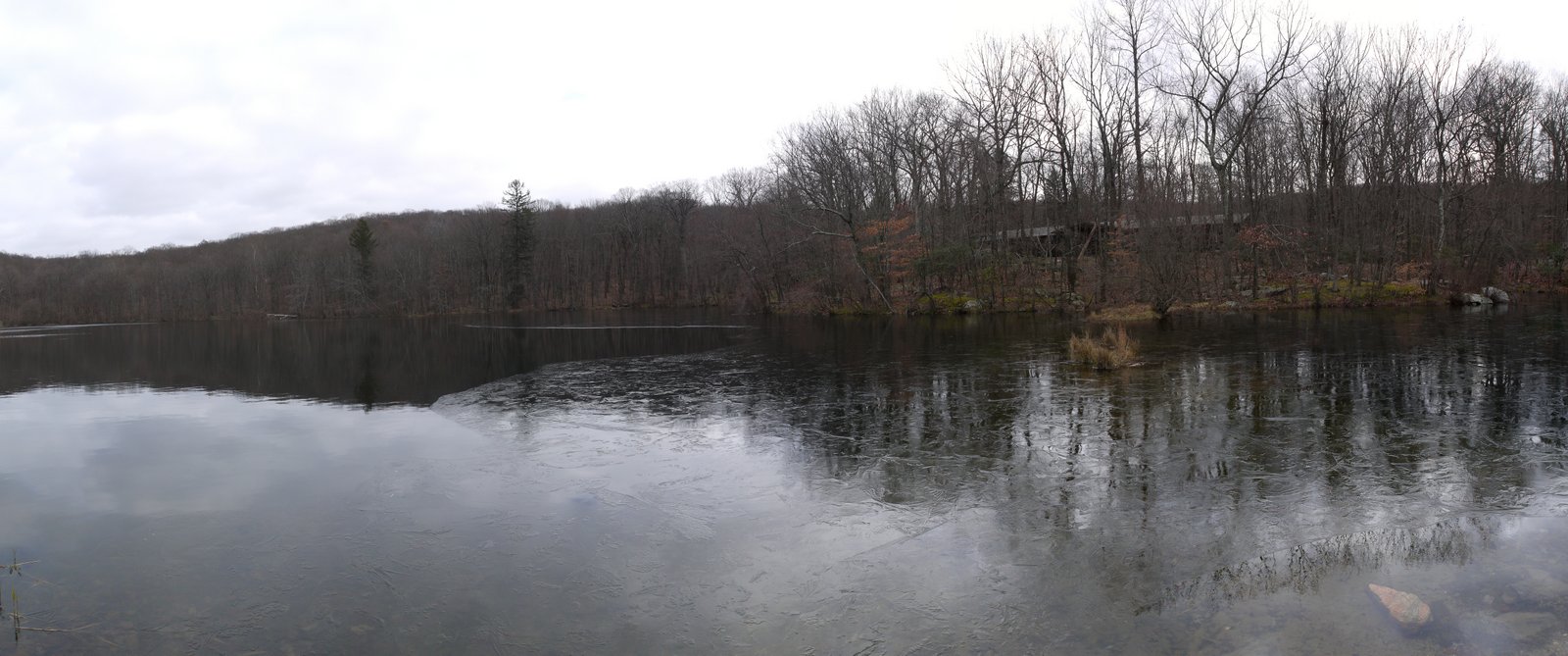
Here is Hemlock Lake, with its surface partially frozen. I sat at a picnic table and had lunch there, watching as a couple of dead leaves scudded quickly across the ice, before reaching the border with the as-yet unfrozen water. As the leaves fell into the water, their progress slowed greatly, due to the increased resistance.
I could have hiked a little more, but was getting cold, especially after having been exposed without moving during lunch. I decided to call it a day and headed back to my car. I had only hiked about 4.9 miles, so it was a short day of hiking.