Sunset Crater Volcano and Wupatki National Monuments, Coconino County, Arizona
On our end-of-summer vacation trip to Flagstaff, we drove about 1/2 hour to visit the Sunset Crater Volcano National Monument. A relatively young volcano, it erupted around the year 1085, which was no doubt a shock for the ancestral Puebloans who lived in the area.
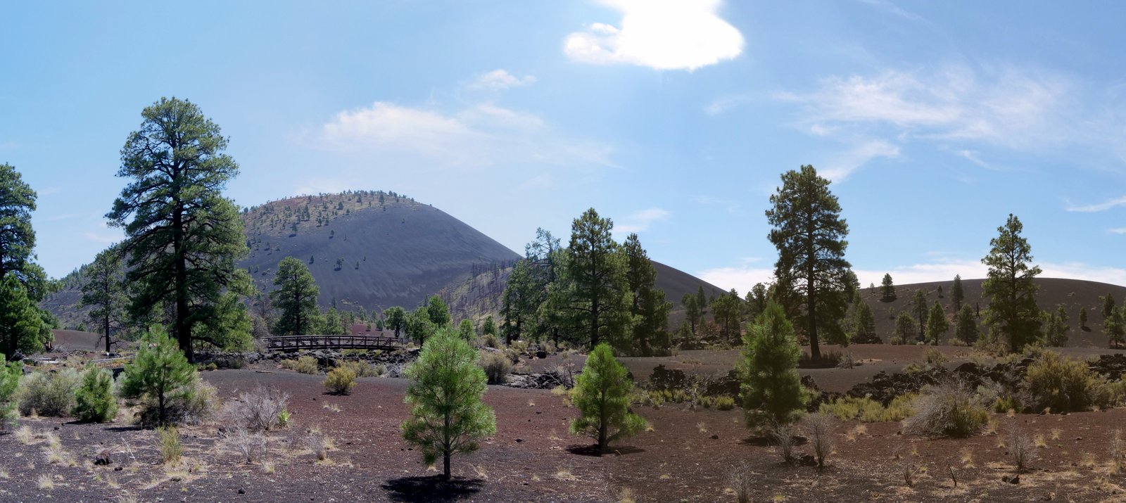
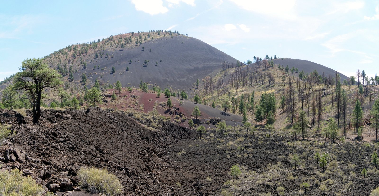
The cinder cone is about 1000′ high, being one mile wide at the base, and about 2250′ from rim to rim at the top. Hiking on the volcano itself is not allowed, but one can hike along its base. We opted to experience the 1 mile long Lava Flow Trail.
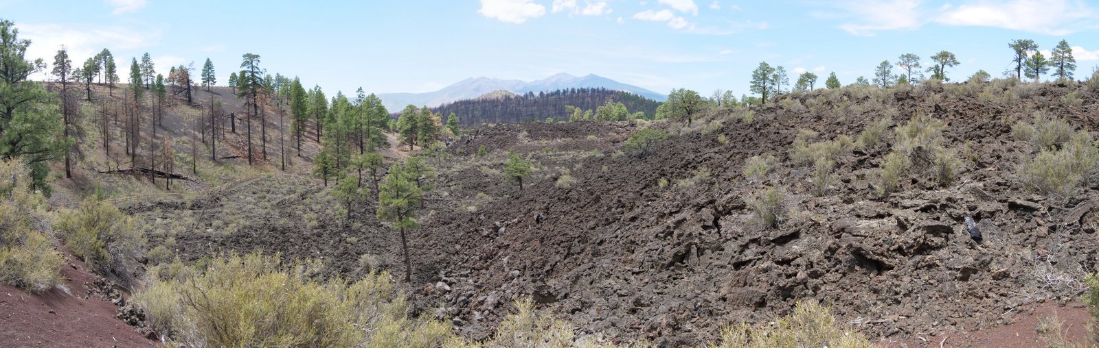
One can see that the cinder cone remains very barren, especially the dryer south-facing slope seen at the right of the photo.
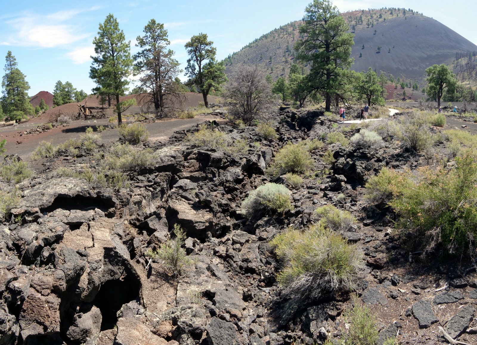
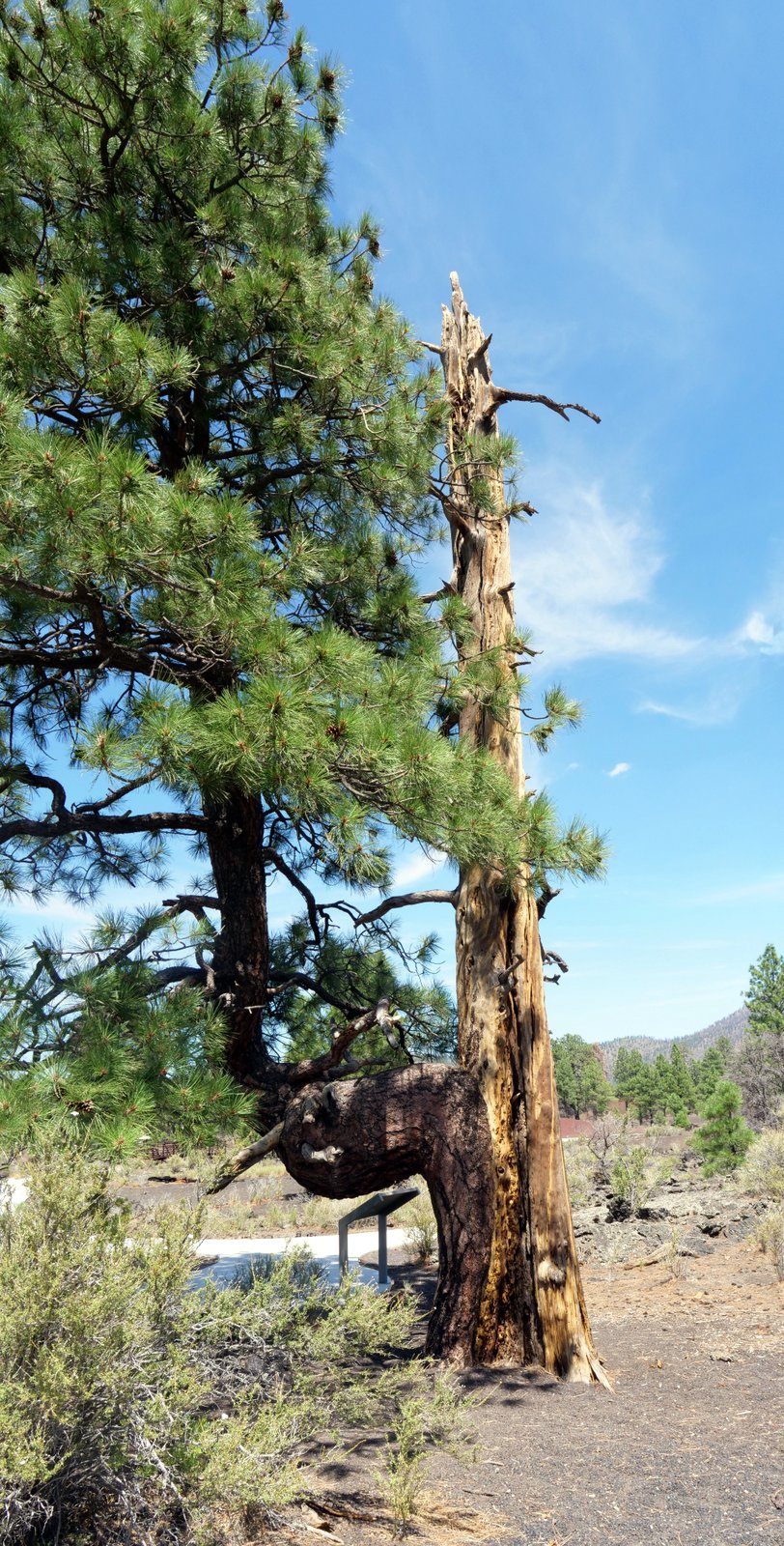
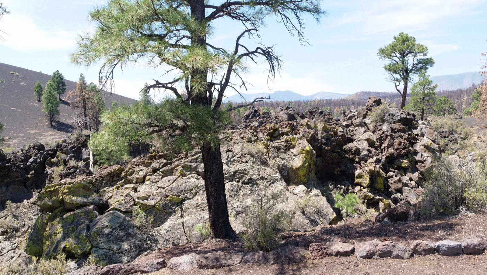
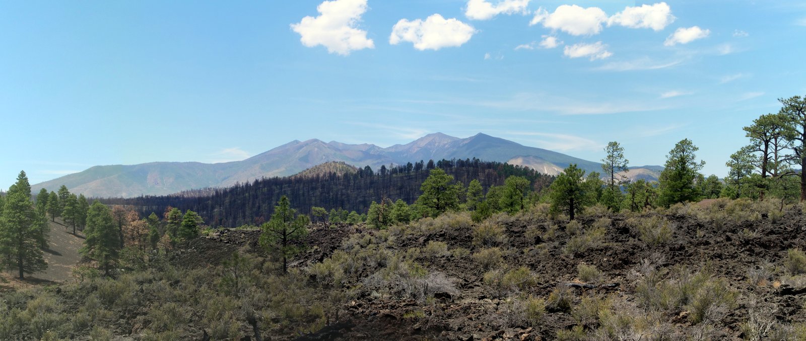
All of the surrounding hills and mountains in the area are also volcanoes! Covering an area of 2,200 square miles, known as the San Francisco Volcano Field, there are more than 600 cinder cones in the areas. Sunset Crater volcano is the newest of the field, which has been inactive since that eruption.
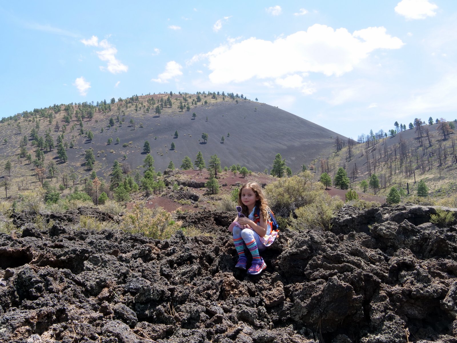
The area of lava shown here is called a squeeze-up, formed as lave beneath the surface oozes through a crack int he lava crust, like toothpaste being squeezed from a tube.
.
.
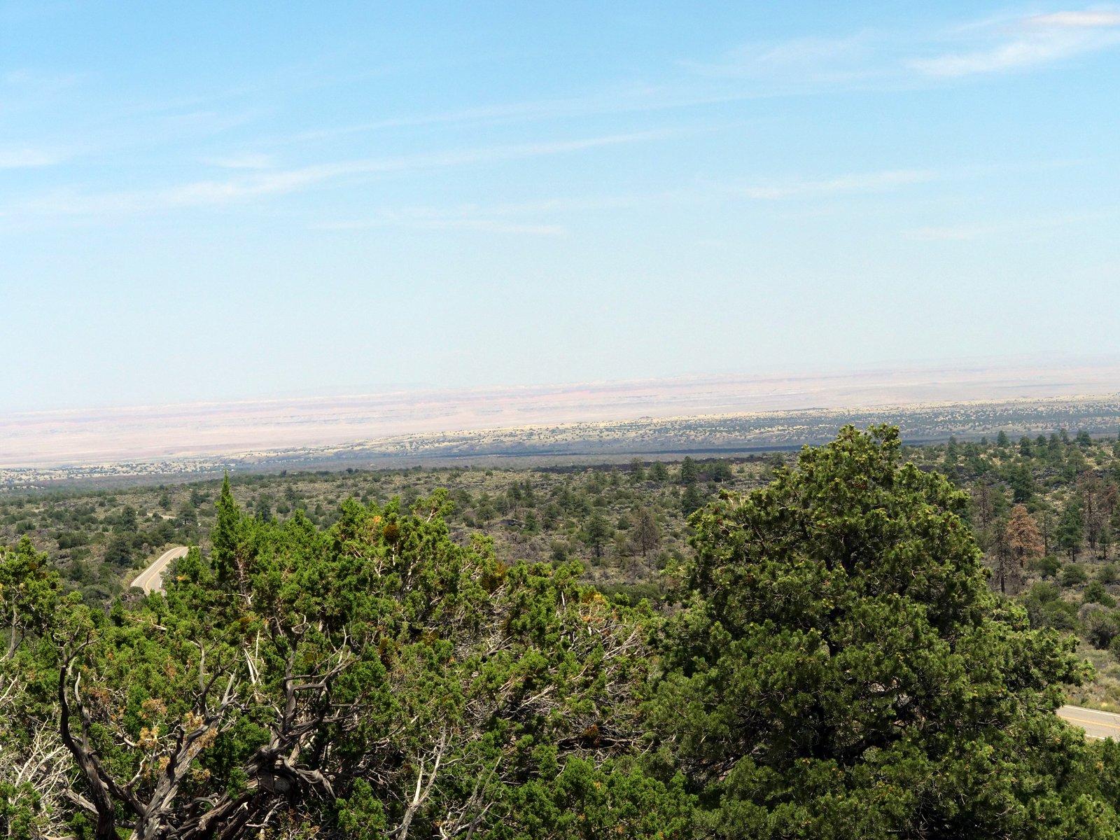
After completing our visit to Sunset Crater Volcano, we drove along the Loop Road heading to Wupatki National Monument. We stopped for lunch and enjoyed the view:
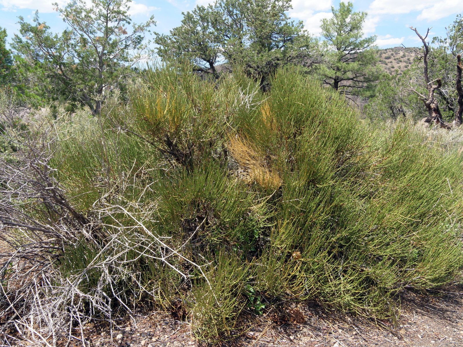
This is Mormon Tea (Ephedra viridis). Mormon pioneers brewed the twigs into a drink. Ephedra is a stimulant and is often used to treat congestion and urinary problems.
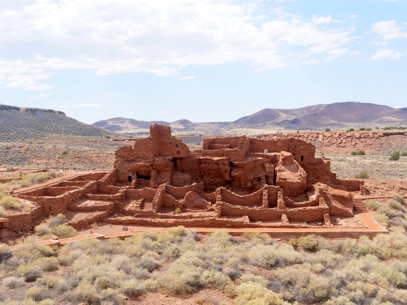
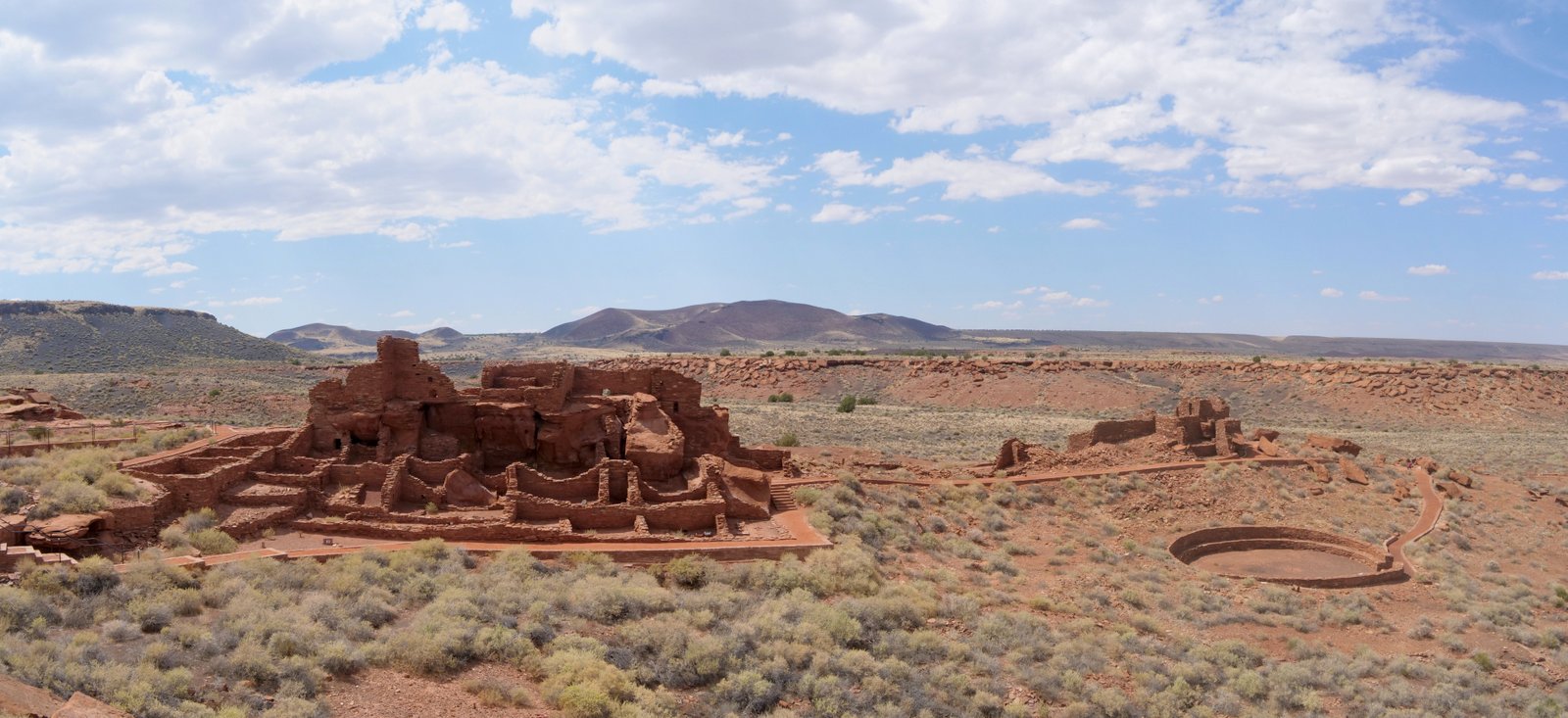
It was about 21 miles from the volcano to the visitor center of Wupatki, which is in front of the amazing Wupatki Pueblo, a 104-room pueblo.
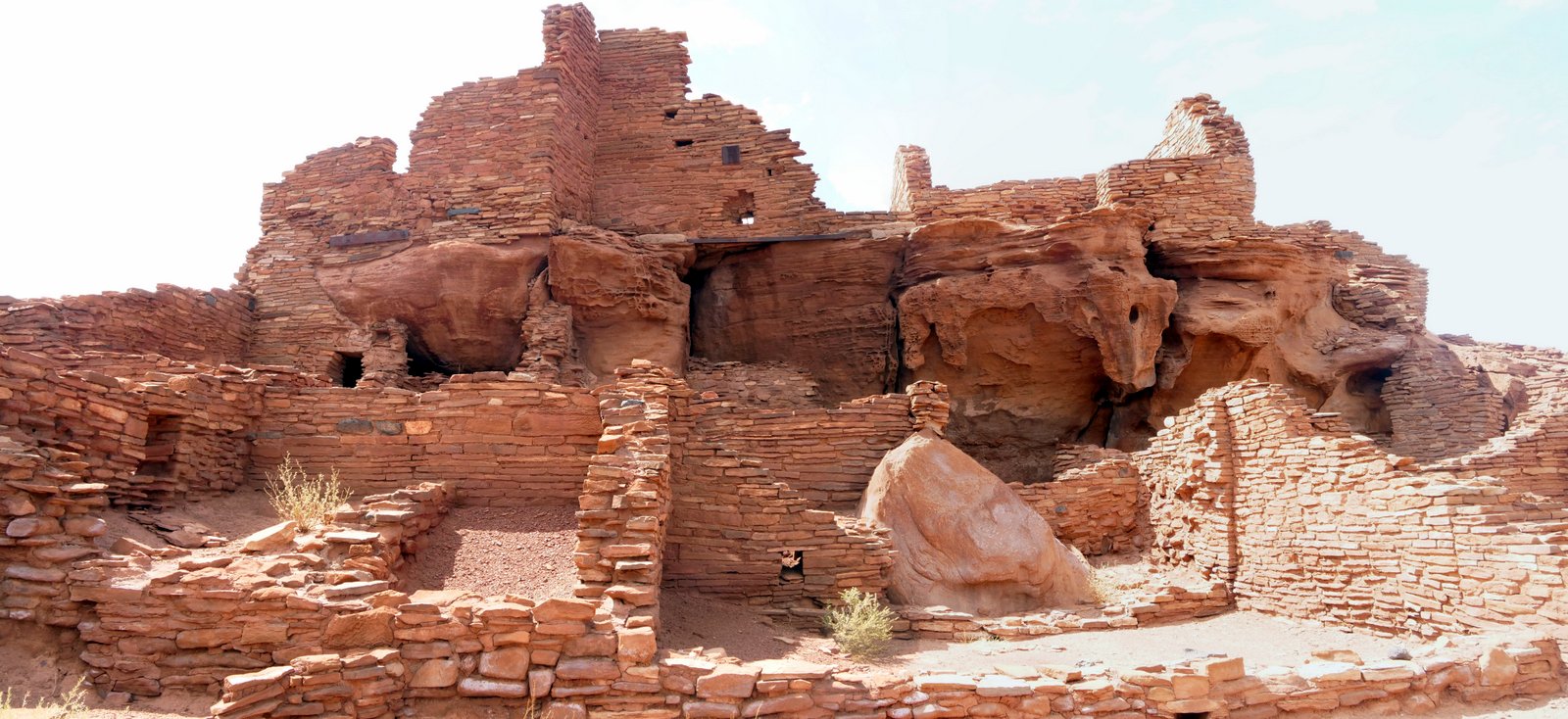
A population influx began after the 11th century eruption of nearby Sunset Crater Volcano, and by 1182, about 85-100 people lived here. The walls were assembled from local sandstone, held together with mortar. The site was abandoned around 1225.
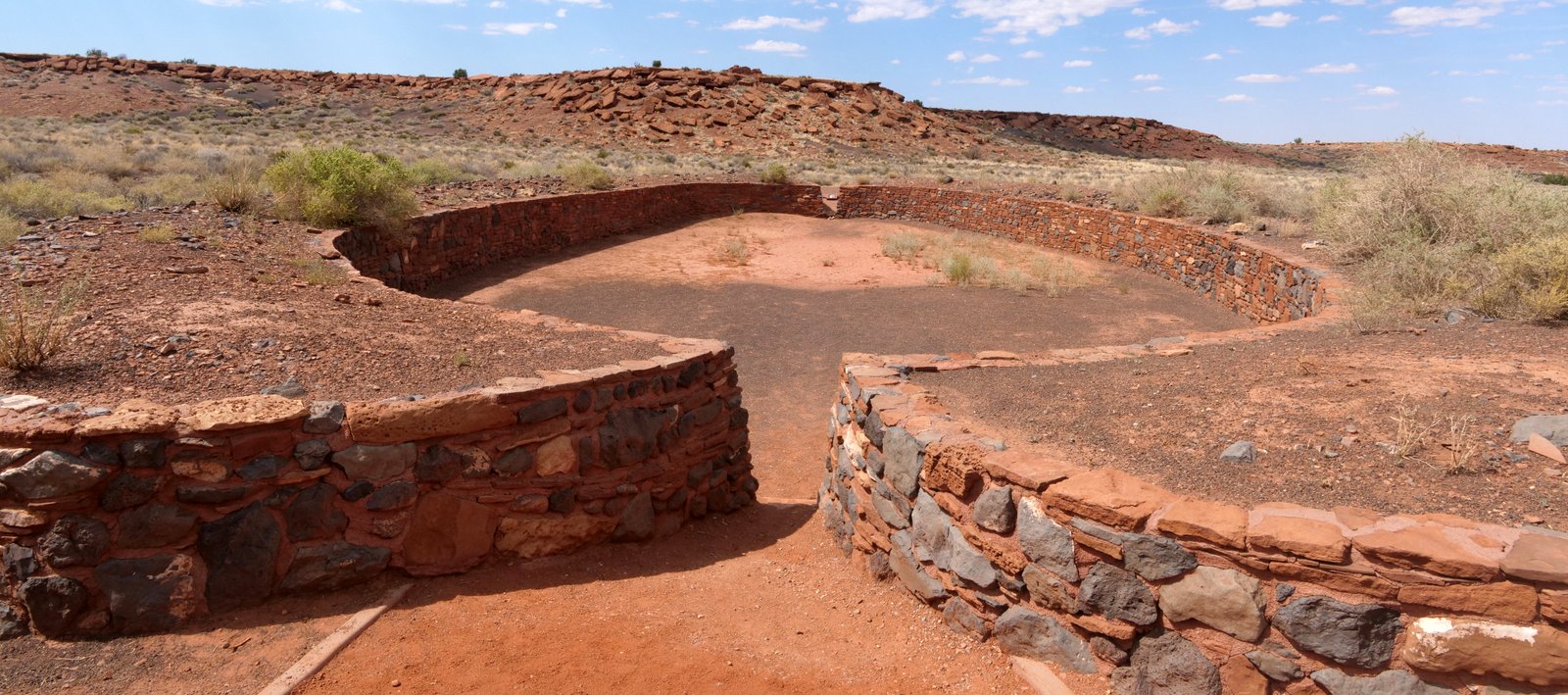
A wider angle view shows the Pueblo and the adjacent ballcourt.
A closer view of the pueblo:
This is the northernmost example of such a ballcourt.
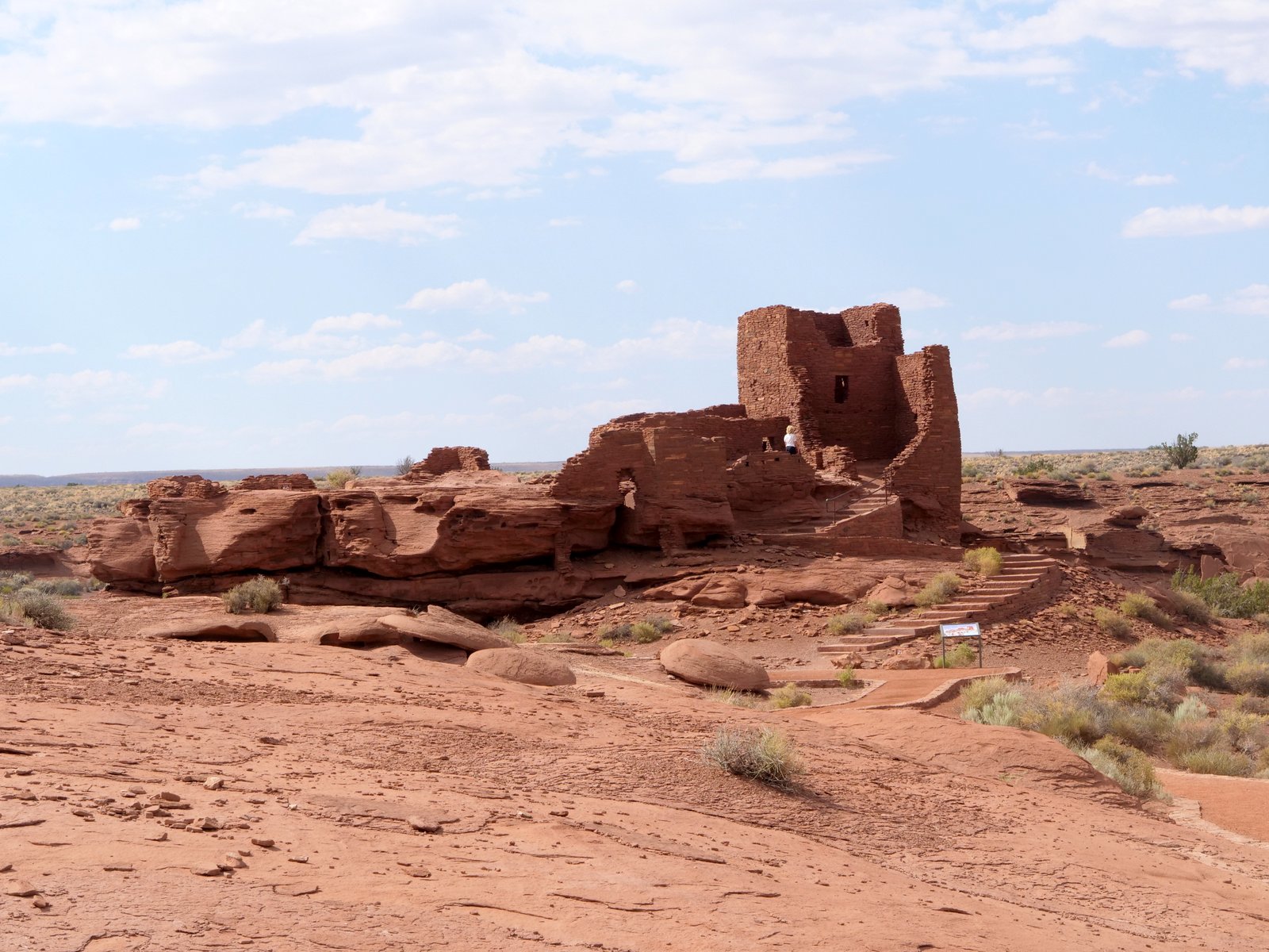
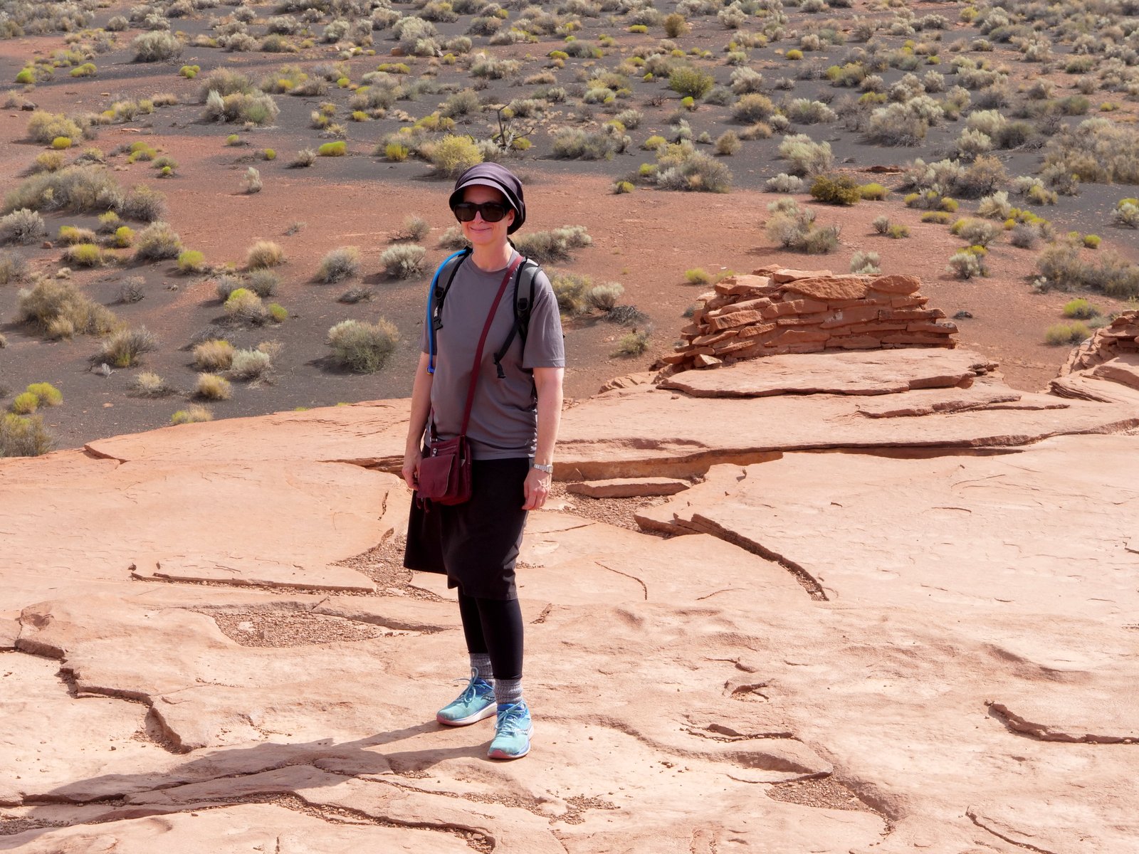
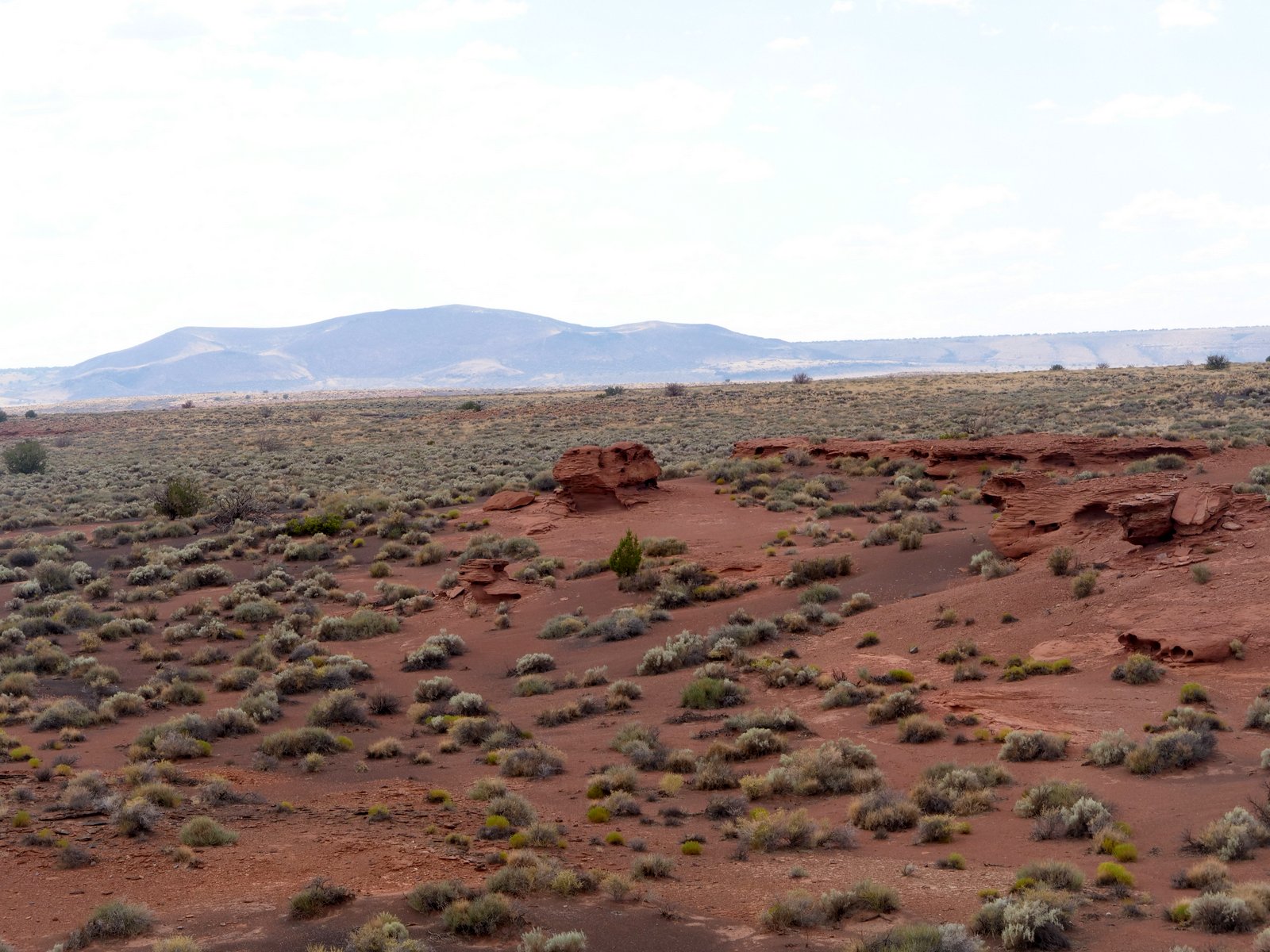
We then drove about 15 minutes to Wukoki Pueblo, which was built on a sandstone outcrop:
.
.